SO MUCH GROCERY CHOICE IN WALKING DISTANCE
It used to be that you could walk down the block and pick up your groceries. Back then, stores offered home delivery (usually by boys on bicycles) and credit. Not to mention that dairy was delivered daily to your doorstep. At the peak, in the 1940s, nine stores lined Annette St. and St. John’s Rd. And that doesn’t include the numerous butcher shops and dry cleaners. Now, the only grocery store is FRESHCO on Dundas. The most recent supermarket to go was Alfredo’s (now Mad Mexican) on Jane at Annette. For decades, it was an IGA.
Two key things drove grocery stores away from the Runnymede neighbourhood (and across North America for that matter). The advent of mass-produced cars and retail chain consolidation has changed how people buy food.
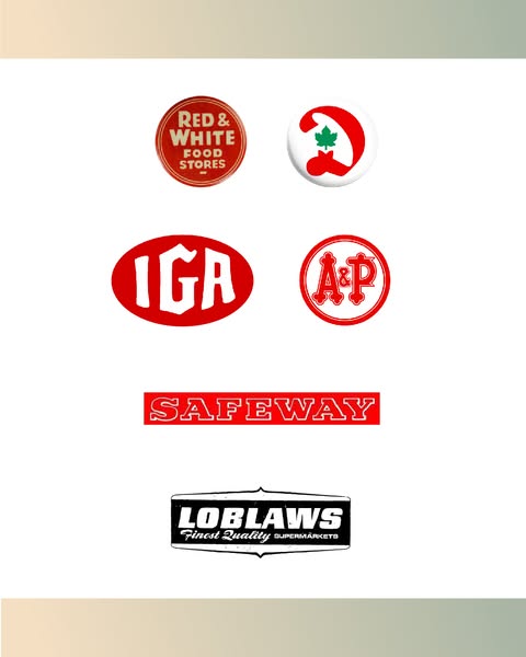
Since WWII, Runnymede has seen the following chains go: Loblaws (changed locations from Annette at Jane to its current location on Dundas just west of the neighbourhood), Safeway (bought out by Sobeys), IGA, A&P, and Dominion. Plus, several smaller chains have vacated the area, including Bassin’s, Foodland, and Red & White. Foodland and Red & White are now small-town fixtures.
Even the convenience stores have vanished. Since 1995, five convenience stores have closed, leaving only 7-Eleven.
But that doesn’t mean those stores are empty. While some are now residences, the majority now have different businesses in them.


What year would the Runnymede Map be? The red and white map on this page.
ReplyDelete1884
DeleteAre you certain? My home is pictured here but wasn’t built until 1910.
DeleteWell - that's the year that the map featured on my blog home page was printed - 1884. But I don't see any houses highlighted
ReplyDelete